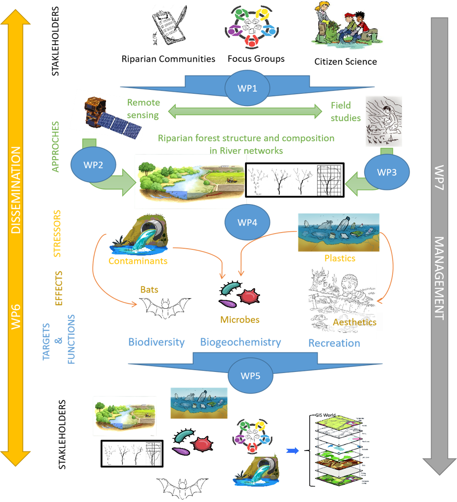
We will address our objectives in riparian networks within six river basins in Europe, including Boreal, Continental, Alpine, Temperate and Mediterranean systems. First, we will gather local needs and interests from key stakeholders together with satellite imagery and GIS environmental data for all basins. Then, riparian and river ecosystems functions will be modelled, and ecological hotspots will be identified through a GIS-based multi-criteria, including stakeholders inputs. Then, we will collect in situ data to assess multiple biodiversity and stressors at the local scale and, subsequently, scale-up this information to the network scale using geostatistical tools and advanced modelling. This knowledge will be conveyed to managers at local and EU scales in the form of decisionsupport tools allowing decision makers to identify protection gaps and ecological hotspots along riparian networks based on multiple biodiversity, functional and connectivity criteria.
Field Work Italy (Fondazione Edmund Mach)
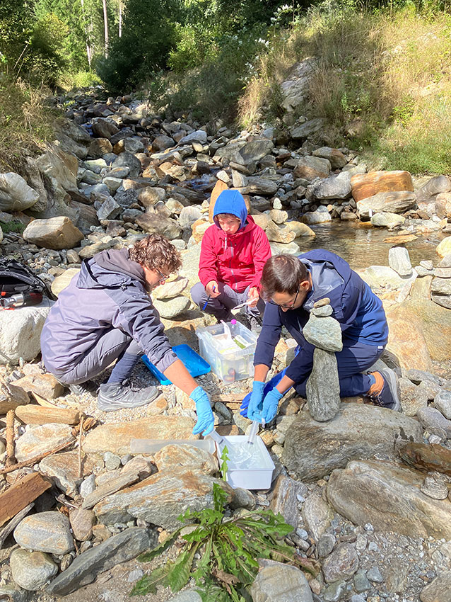
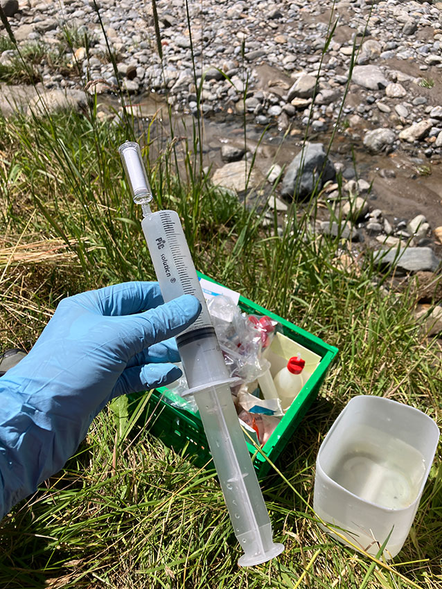
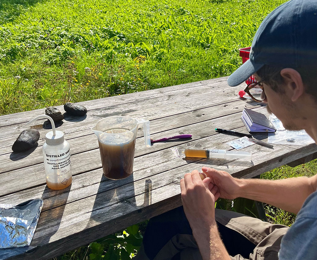
Collection of water samples for the analysis of environmental DNA.
River water is filtered in the field using the Sterivex filters, and analysed for aquatic bacteria and fungi
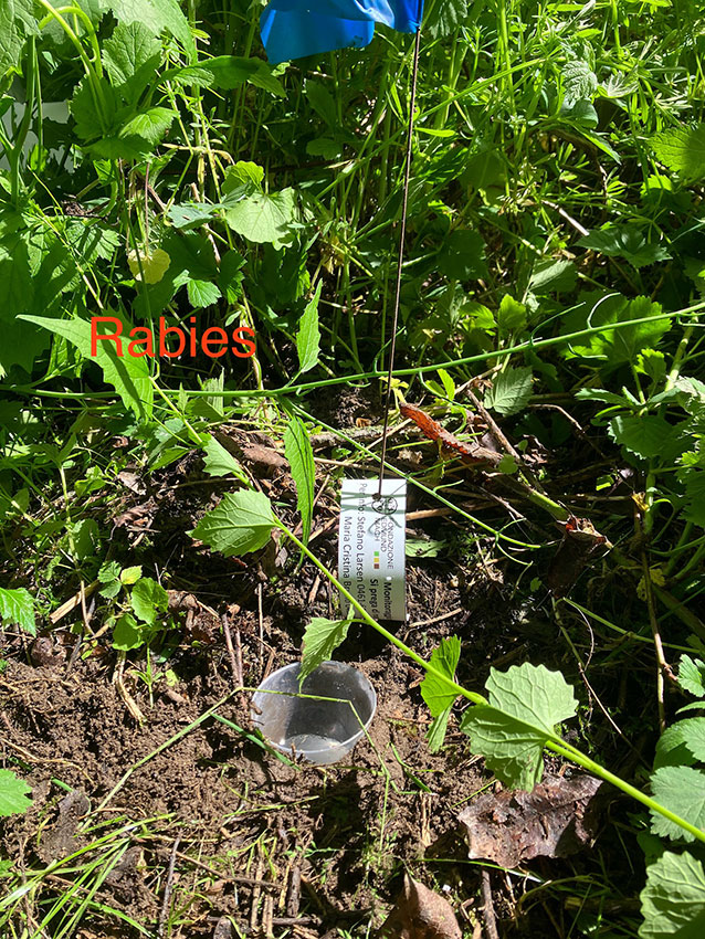
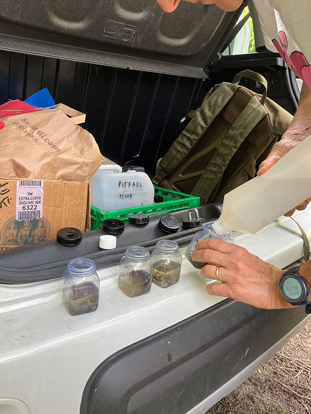
Examples of pitfall traps installed along river banks.
These simple traps are ideal for assessing the diversity and composition of riparian arthropods.
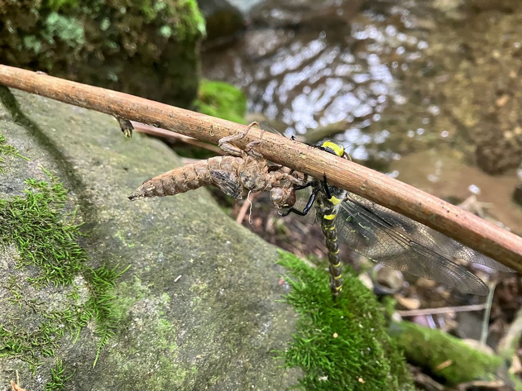
Dragonflies (Odonata) are insects with aquatic and terrestrial life stages. Here, a beautiful adult Golden-ring dragonfly emerges from its aquatic larval case (exuvia), ready to hunt prey along the riparian zone.
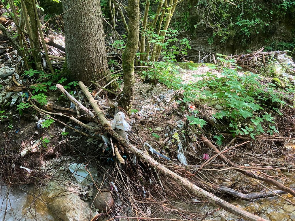
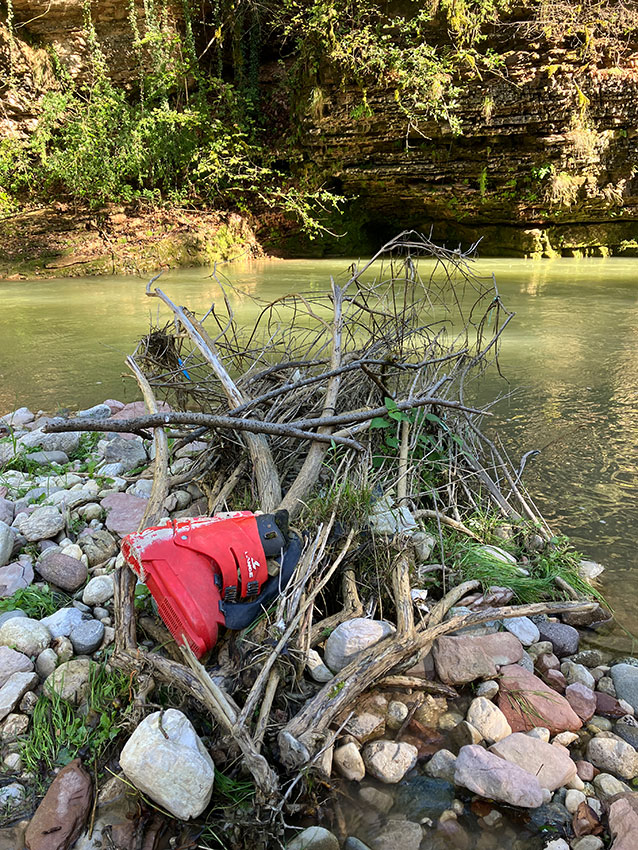
Rivers and riparian zones can collect and transport huge quantities of micro and macro plastics.
Here are two examples of what can be found even in upland rivers. Not only plastic debris, but even an old ski-boot!
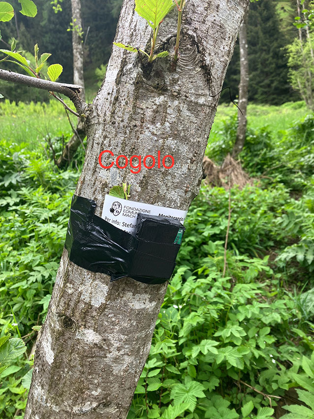
Fixing the acoustic sensor (Audiomoth) along the riparian zone of the Noce river (Trentino region, Italy).
Field Work Roma Tre (University of Roma Tre)
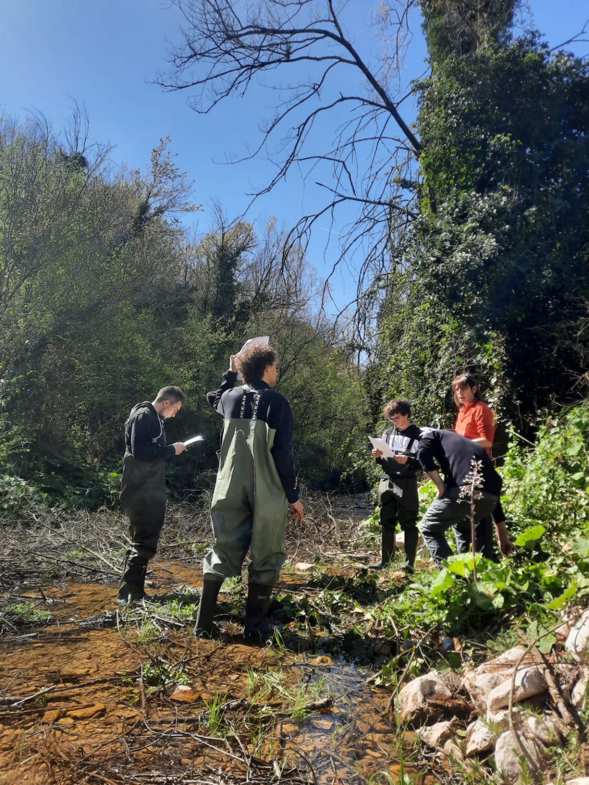
Presentation of the RIPARIANET project to students from Roma Tre University during a visit to the project’s sampling site at Licenza Torrent (ph. Giulia Cesarini).
Overview of the sampling site and its surroundings (ph. Davide Taurozzi).
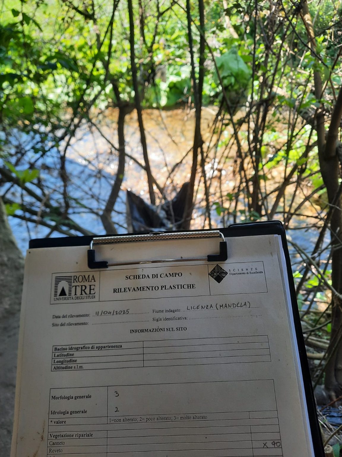
Application of the protocol developed within the RIPARIANET project for characterizing litter trapped in riparian vegetation (ph. Davide Taurozzi).
Field schedule dedicated to sampling plastic litter trapped in riparian vegetation (ph. Giulia Cesarini).
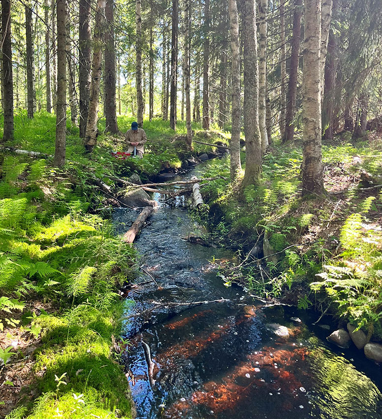
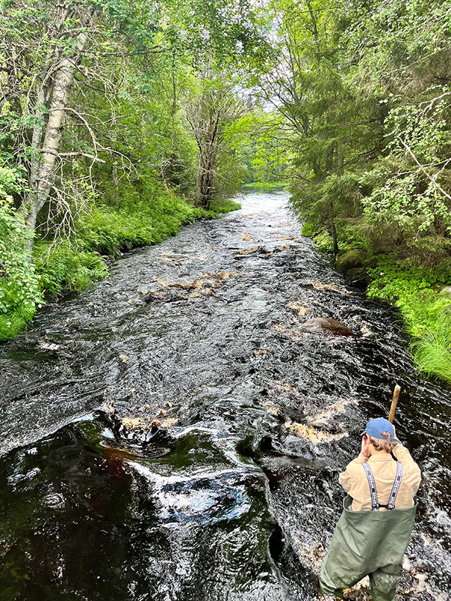
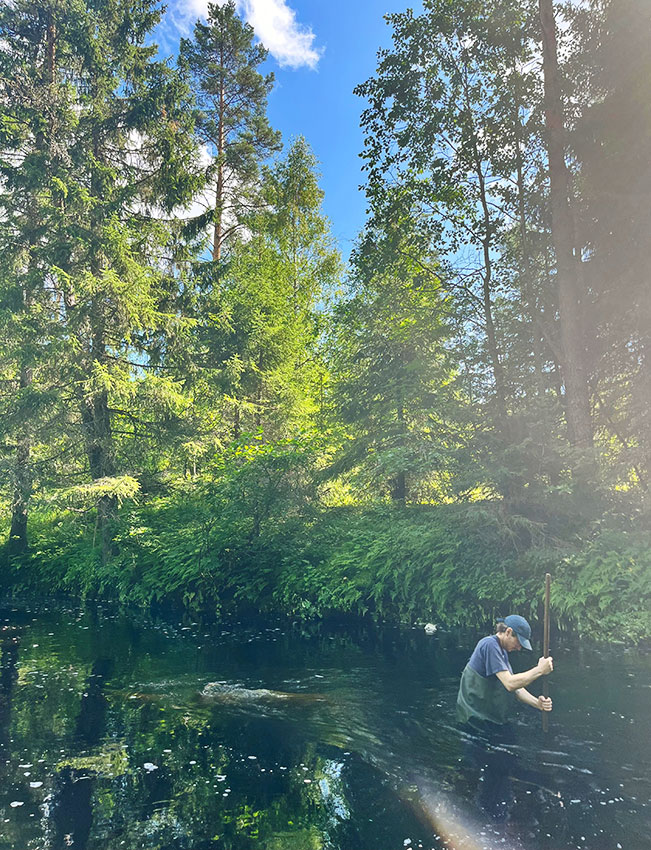
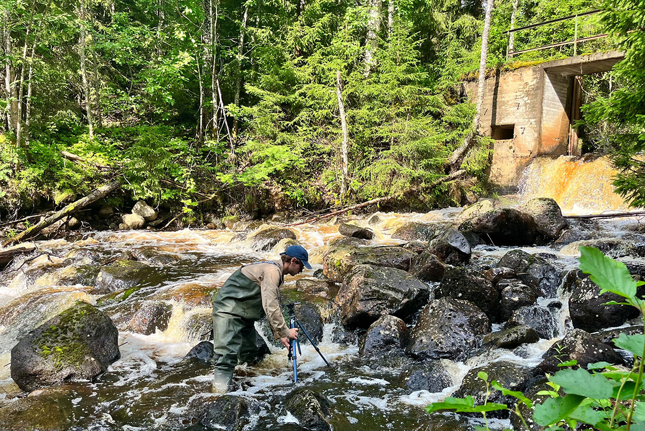
Field Work Sweden (Umeå University)
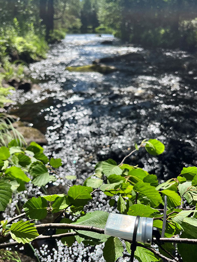
Swedish study stream with HOBO logger measuring light and temperature in the foreground
Field work at Swedish study stream. Field technician in picture: Christopher Wård
Macroinvertebrate sampling in Swedish study stream. Field technician in picture: Christopher Wård
Macroinvertebrate sampling in Swedish study stream. Field technician in picture: Christopher Wård
Canopy photos in Swedish study stream. Field technician in picture: Christopher Wård
Measuring biofilm accrual on rocks from Swedish study streams. Field technician in picture: Christopher Wård
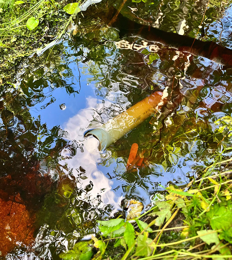
PVC pipe, for biofilm collection, and wood stick, to measure decomposition rate, in a Swedish study stream
")